Forest change detection
Changes in the forest can be detected using radar data from Sentinel-1 (S1) and optical data from Sentinel-2 (S2). The requirements on urge and resolution will support the selection of the most suitable sensor data. During large parts of the winter, the light conditions causes SAR to be the only alternative, while at summer time, optical satellite might be preferred. However, when no cloud free conditions are available, SAR data can be used as replacement.
When Sentinel-1 (SAR) and Sentinel-2 (optical) are compared, the SAR data have a resolution that is 20×20 m when optical Sentinel-2 data provide 10×10 m pixels.

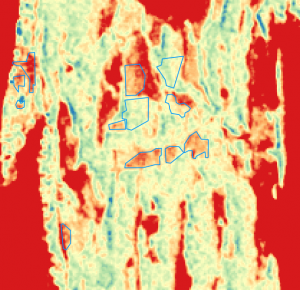
Sentinel-1 change detection backscatter image

Backscatter [dB]
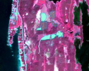
The same region using Sentinel-2 data appears as:

Detected clear-cuts and thinnings based on Sentinel-2 data
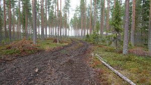
Forest machine roads could be detected in the S2 data but not in the S1 data. Such roads might appear as this:

Forest machine road
